$49.99
High quality, durable A1 print in a satin finish. Large, 594 x 841 mm.
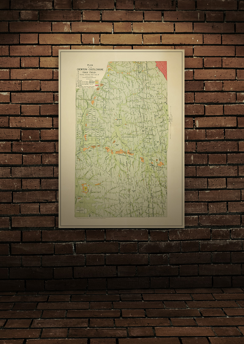
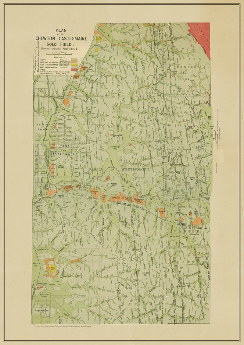
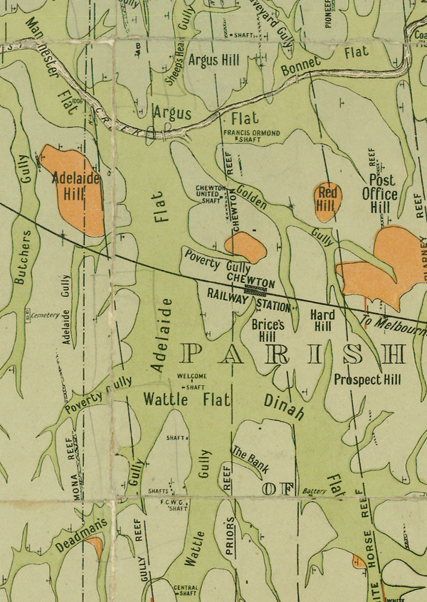
Geological map of the Castlemaine and Chewton goldfield which shows historical features in superb detail, including reefs, leads, gullies, flats, and old workings. Originally published by the Mines Department Victoria, 1902.
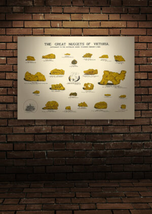
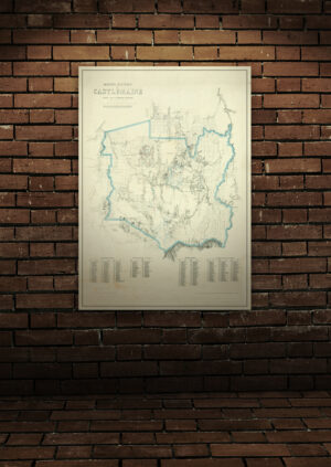
The Castlemaine area was one of the earliest, most important and world-renowned goldfields of the 1850s gold rush! The area was known overall as the Mount Alexander Diggings, with the famed Forest Creek diggings situated at Chewton. This map depicts fascinating historical and geological features of this very significant place in Victoria’s history.
These historical maps have been professionally retouched and enhanced, then styled as a matching set. Our quality posters are printed on 100% recyclable, 200gsm synthetic paper made of highly durable polypropylene material. It is vastly superior to regular paper as it has excellent tear resistance, chemical resistance and UV resistance.
Frame not included.
In stock