Historical gold maps of the Tasmanian goldfields, showing useful historical information on gold diggings, mining companies, and geology. These maps are available to view online for free.
This page provides a directory of historical gold maps for Tasmania as well as many individual towns/regions across the state.
Historical gold maps of the entire state of Tasmania
These state-wide maps offer some interesting insights into the development of Tasmania’s goldfields.
1880?, Tasmania, Lands Department
Historical gold maps by town/area
Beaconsfield
Corinna
Fingal
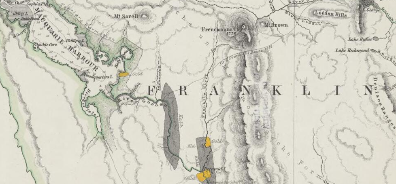
Franklin River
Mount Lyell
Queenstown
Useful Resources
Mineral Resources Tasmania – Prospecting Licence
Mineral Resources Tasmania – Fossicking Areas
Apple Isle Prospector – Lots of great information about prospecting in Tasmania, written by a local prospector.