$49.99
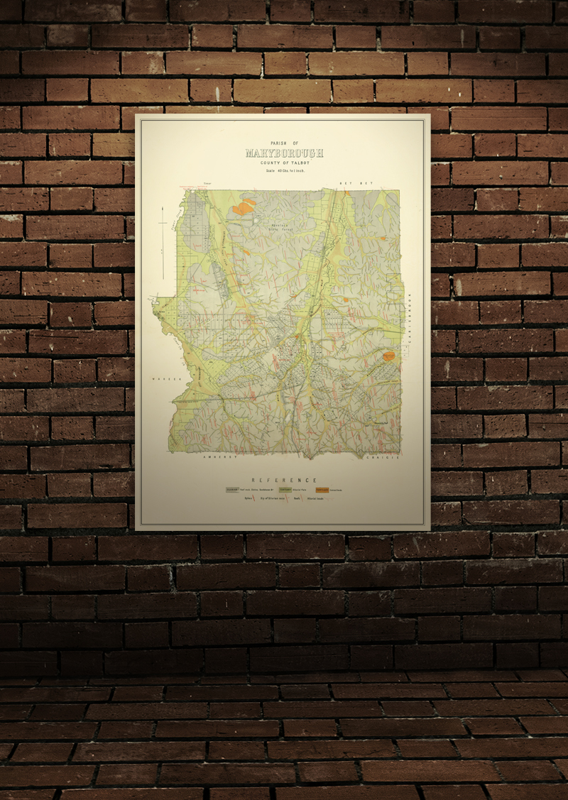
High quality, durable A1 print in a satin finish. Large, 594 x 841 mm.
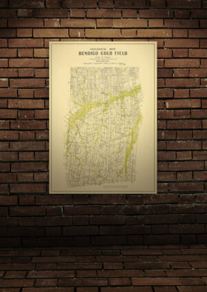
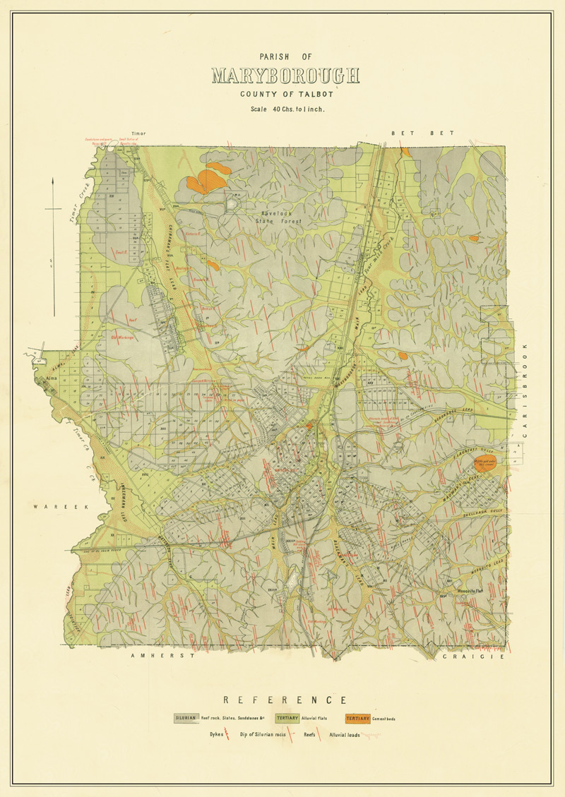
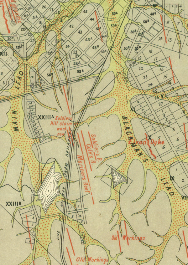
Geological map of the Maryborough (Victoria) goldfield which shows historical features in superb detail, including reefs, leads, gullies/flats, and old workings. Originally published by the Department of Crown Lands and Survey, early 20th century.
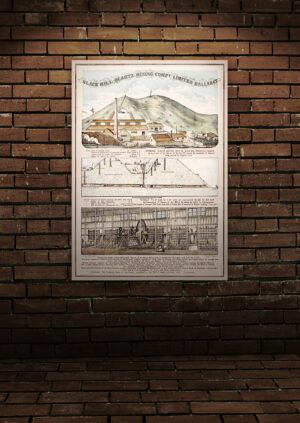
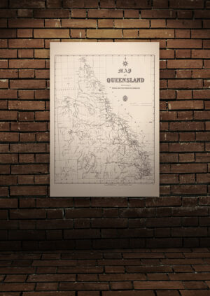
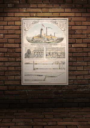
These historical maps have been professionally retouched and enhanced, then styled as a matching set. Our quality posters are printed on 100% recyclable, 200gsm synthetic paper made of highly durable polypropylene material. It is vastly superior to regular paper as it has excellent tear resistance, chemical resistance and UV resistance.
Frame not included.
Out of stock