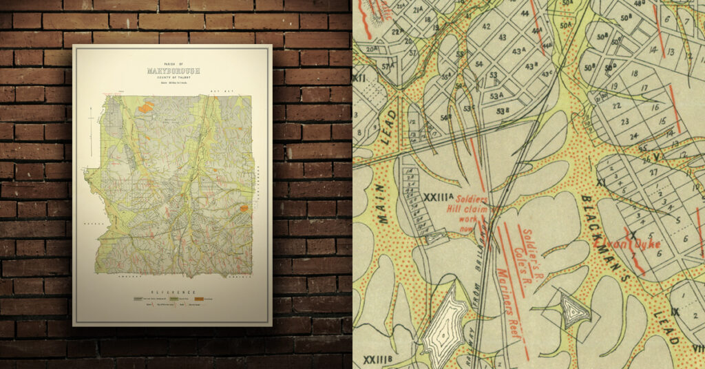
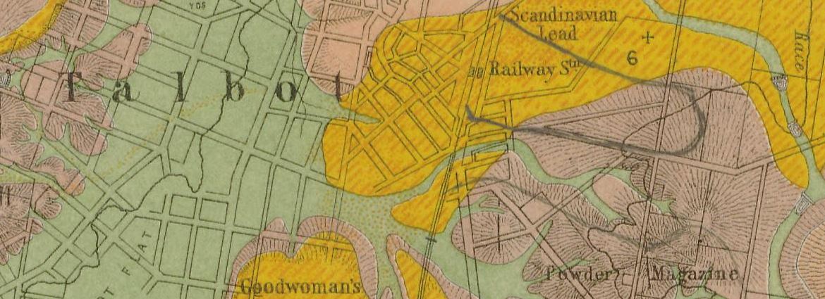
Talbot historical gold maps
- 1883, Clunes, Mt Greenock and Talbot gold fields, Mining Dept. Shows outcrops of quartz reefs, quartz reefs proved auriferous, strike and dip of rocks, points of volcanic eruption, gold workings, alluvial, post pliocene, newer volcanic, upper pliocene, lower pliocene, lower silurian, granite, and trappean.
Purchase high quality A1 print of the Maryborough Goldfield

Shop now – High quality A1 print – Historical map of the Maryborough Goldfield

