Skip to content
- 1905?, Mt. Magnet Leases, Murchison Gold Field. Copy of map showing part of Murchison Goldfield.
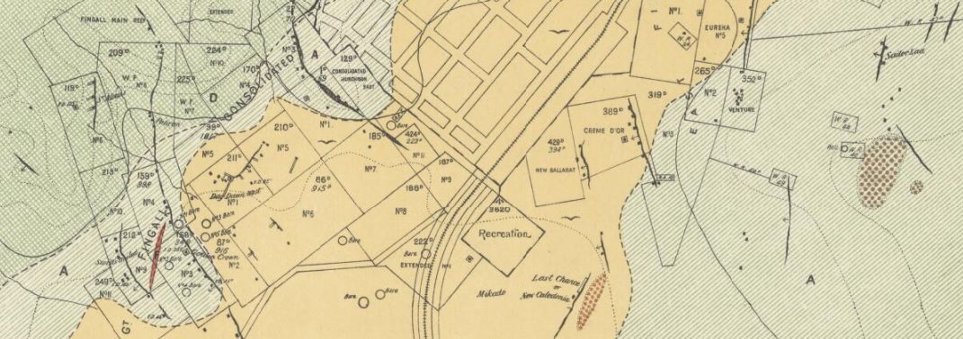
- 1907, Day Dawn, Murchison Gold Field. Shows quartz reefs, alluvial, detrital auriferous, lateritic, igneous rocks, shafts, geological lines, mining leases, contour lines.
- 1907, Cuddingwarra, Murchison Gold Field. Shows quartz reefs, alluvial, detrital auriferous, lateritic, igneous rocks, shafts, geological boundaries, mining leases.
- 1907, Cue, Murchison gold field. Shows quartz reefs, alluvial, detrital auriferous, clastic, lateritic, igneous rocks, shafts, geological boundaries, mining leases.
- 1907, geological sketch map of Sir Samuel, East Murchison Gold Field. Shows quartz reefs, shafts, recent superficial deposits, faults, granite, greenstones, leases, water rights, machine area, garden, lines of foliation.

