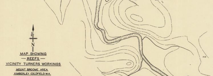
- 1939, map showing reefs, vicinity Patterson’s and Turner’s workings, Mount Broome Area. Geological map of area on Broome Creek west of Mount Broome, Kimberley Goldfield. Includes assay plan of Turner’s workings.
- 1940, plan of Grant’s Creek Mining Centre (Panton River) East Kimberley District W.A. Shows reefs, workings and assay results.