- 189?, map of Hannan’s goldfield, West Australia. Map of Hannan’s goldfield near Boulder showing gold mining leases. Key map showing position of gold fields (Hannan’s coloured red).
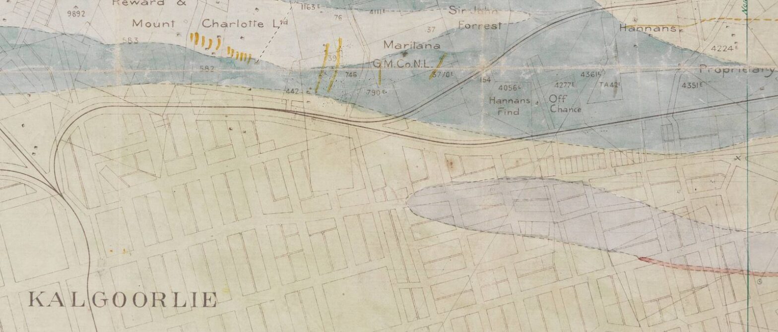
- 1898?, map of the Hannan’s goldfield, West Australia. Map of goldfield near Kalgoorlie showing leases.
- 1910?, geological map of Kalgoorlie.
- 1933, gold mining leases on the Golden Mile, Croesus group & Northend. Kalgoorlie and Boulder, showing names and numbers of leases. Dimensions of leases are approximate.