- 1898, map of St Arnaud gold field, underground survey of mines. Shows reefs, leads, gold workings, alluvial and pliocene. Also shows underground map of Lord Nelson Mine.
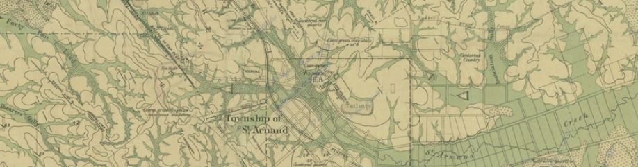
- 19??, St Arnaud, County of Kara Kara, Crown Lands Survey. Shows reefs, basaltic dykes, recent, pliocene, silurian.