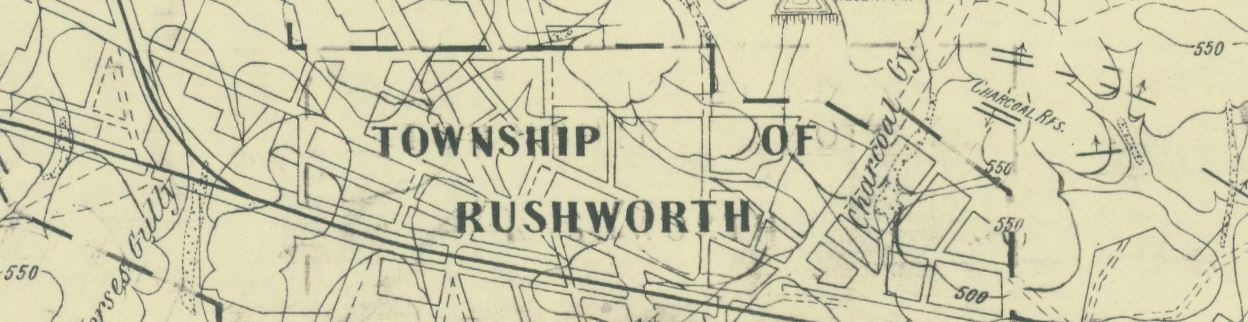
- 1954, Rushworth goldfield, Dept. of Mines, Victoria. Shows names of hills, gullies, reefs, flats, etc. Shows shafts, alluvial workings, strike of rock and dip, vertical beds, anticline, syncline, reefs, faults, contours.
Directory of free online gold maps