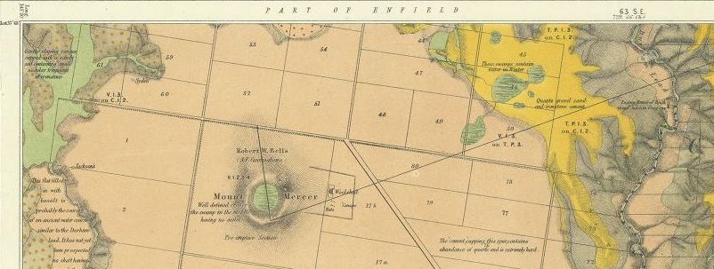
- 1868, parts of parishes of Enfield, Cargerie, Bamganie, Shelford West, Wurrook, Warrambine and Lawaluk, Geological Survey of Victoria. First map shows dykes, dip and strike, quartz reefs, gold, museum specimens, post pliocene, older pliocene, lower silurian, upper volcanic, thin capping of tertiary on older rocks, volcanic hills and points of eruption, detailed notes included on map. Second map shows cross section of the Durham Lead from Mt Mercer to Green Hill.

