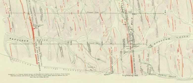
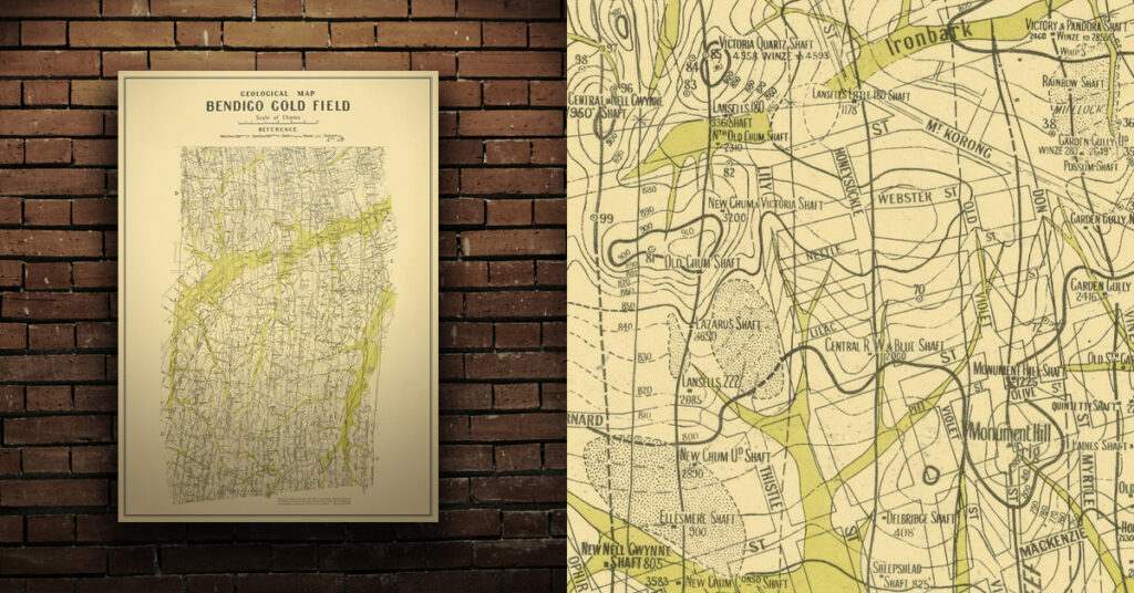
Joseph Crook found a gold nugget in Eaglehawk Gully in 1852, and the area quickly became one of the primary localities of the Bendigo goldfield.
Eaglehawk historical gold maps
- 1879, plan shewing surface extensions of quartz reefs northward from Eaglehawk, Sandhurst. Shows alluvial gold workings, quartz reefs, gullies.
- 1923, geological map, Bendigo gold field. Dept of Mines. Shows reefs, shafts, alluvial, sands, gullys, dams. Two map sections, the first shows Eaglehawk and the second shows Bendigo.
Purchase high quality A1 print of the Bendigo Goldfield
Shop now – High quality A1 print – Historical map of the Bendigo Goldfield


