Skip to content

Chiltern gold maps
- 1868, Indigo, Chiltern and Wahgunyah. Shows leads explored, supposed course of leads, quartz reefs. Includes a section of several leads.
- 1894, Parts of parishes of Gooramadda, Carlyle, Chiltern and Chiltern West. Shows companies, bores, leads.
- 1901?, Geological sketch map, Chiltern and Rutherglen gold fields. In two parts. Shows alluvial, tertiary, glacial conglomerate, lower silurian, metamorphic, leads, quartz reefs, and auriferous quartz reefs.
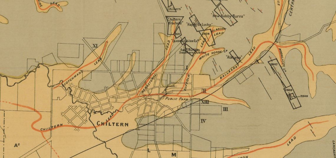
- 1903, Geological and topographical plan of the Chiltern gold-field. Shows deep leads, fine gravels, sands and clays, recent alluvium, possible course of leads, reefs, bores, shafts, rocks sliced for microscopic examination.
- 1904, Plan showing deep leads, Chiltern-Rutherglen gold field. Shows bores, depth to bedrock, shafts, deep leads worked out, deep leads probable course.
- 1904, Plan showing boundaries of areas held by companies and co-operative parties under mining regulations in the Chiltern-Rutherglen goldfield.
- 19??, Sketch map of alluvial and deep leads systems, Rutherglen, Chiltern, Barambogie, El Dorado, Everton, &c.

