Originally a mining settlement named Morses Creek, the area was renamed to Bright in 1862.
Mining in the area began as alluvial, turned to quartz reef mining, then in the late nineteenth century, extensive dredging operations began.
Today Bright is a popular tourist destination, and the area is filled with the fascinating remnants of the region’s rich mining history.
Bright is also home to one of only six surviving state gold batteries in Victoria, the others being located at Creswick, Maldon, Wedderburn, Mount Egerton and Rutherglen.
Bright gold maps
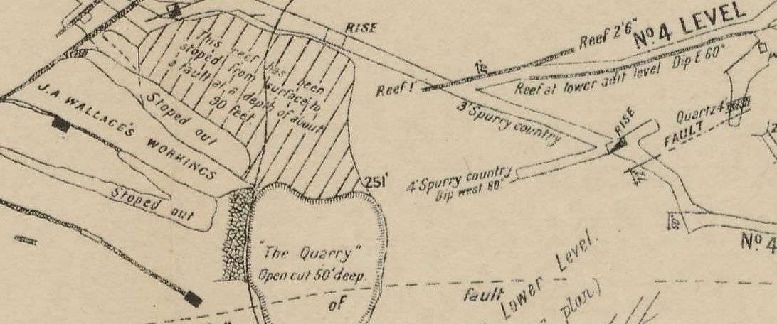
- 1906, Pioneer Mine, Bright. Geological Survey of Victoria. Map of Pioneer Mine, shows shafts, adits, stopes, open cut, surface workings, quartz reefs, outcrops, strike and dip of strata, anticlinal folds, synclinal folds.
- 1906, Pioneer Mine, Bright. Geological Survey of Victoria. Shows underground sections of Pioneer Mine. Shows sandstone, slate, quartz and quartz spurs.
- 1925, Bright, Wandiligong and Freeburgh gold-field, Geological Survey of Victoria. Shows quartz reefs, aurierous, dykes, bores, strike and dip of strata, tunnels, deep leads, anticlines, synclines. Also shows river flats/gullies gravel, clay, boulders, sand, swamp deposits, terrace gravels, sandstones, slates, quartzites and occational grits.

