Directory of historical gold maps for Avoca, free to view online.
“The Forest Creek Diggings was being deserted to a great extent, by reason of a strong attraction toward the new goldfield at Avoca, which seems to be all the rage at present, and is causing quite an exodus from some of the older diggings.” – The Argus, 29th June 1854
Avoca is a peaceful little town within the Pyrenees Shire, the gateway to the Pyrenees Wine Region! The beautiful historic streetscape is complemented by a backdrop of striking mountain ranges, and an assortment of nearby attractions including scenic lookouts, a seasonal waterfall, and an abundance of must-visit wineries.
The gold rush at Avoca began when the main lead was discovered in 1853, and thousands of diggers were soon drawn to the region.
Avoca gold maps
- 1863, special lands, Parish of Avoca. Shows location of gold workings and crushing machine.
- 1904, plan showing Loddon and Avoca deep lead systems, Geological Survey of Victoria. Includes Avoca, Yehrip, Lamplough, Glenmona, Bung Bong, Lillicur, Glenlogie, Yalong South, Yalong, Wareek, Maryborough, Amherst, Talbot, Caralulup, Beckworth, Lexton, Amphitheatre, Langi Kal Kal, Raglan, Beaufort, Livingstone, Ercildoun, Addington, Burrumbeet, Trawalla, Brester.
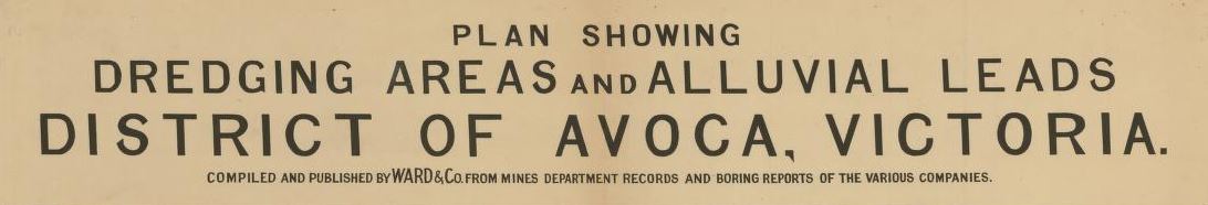
- 192?, plan showing dredging areas and alluvial leads, district of Avoca, Victoria. Includes Avoca, Moonambel, Landsboough, Navarre, Redbank, Lexton, Amphitheatre, Elmhurst, Bung Bong, Lillicur, Homebush. Shows worked portions of alluvial leads, unworked portions of alluvial leads, lines of bores which have indicated the position of the leads at various points shown, depth of bore from surface to bottom of lead, mining lease numbers, basalt, other valleys not covered by basalt, exposures of granites, rocks of ordovician time.