Skip to content
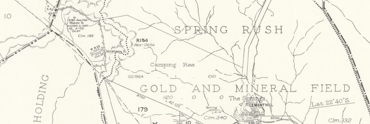
1890, sketch map of the environs of Clermont . Shows gold and mineral fields. Includes surrounding parishes.1967, Parish of Apsley, County of Clermont . Shows gold and mineral fields.1967, Parishes of Copperfield and Ravensdale, County of Clermont . Shows gold and mineral fields.1968, Geological map, Clermont QLD . Shows gold, mines, quarries, bores, wells, coal, copper, unworked deposits, shafts, faults, synclines, anticlines, geological boundaries, cainozoic, mesozoic and palaeozoic. Click through, then you can choose to view online as PDF or JPEG as well as download.1969, Parish of Blair Athol, County of Clermont . Shows gold and mineral fields.1969, Parish of Keilambete, County of Clermont . Shows Anakie Mineral Field.1971, Parish of Theresa, County of Clermont . Shows Clermont Gold and Mineral Field.1971, Parish of Huntley, County of Clermont . Shows Clermont Gold and Mineral Field.1971, Parish of Clermont, County of Clermont . Shows Clermont Gold and Mineral Field.1971, Parish of Wena, County of Clermont . Shows Clermont Gold and Mineral Field.1971, Parish of Wolfgang, County of Clermont . Shows Clermont Gold and Mineral Field.1971, Parish of Stevenson, County of Clermont . Shows Clermont Gold and Mineral Field.1972, Parish of Colinby, County of Clermont . Shows Clermont Mining Field.

