Creswick is a gold rush town, established during the early gold rush of the 1850s, lies in close proximity to the world-renowned Ballarat goldfield.
In the Ballaarat district the diggers seem to have regularly scattered ; the Eureka is almost deserted for Creswick’s Creek, which now boasts of a population equal to that of Eureka last month. – The Argus, 20th December 1852
Today the Creswick Regional Park is a popular destination for gold prospectors, with Slaty Creek being a local favourite for free camping, gold panning and gold detecting.
Creswick is home to one of only six surviving state gold batteries in Victoria, the others being located at Wedderburn, Maldon, Mt Egerton, Bright and Rutherglen.
Creswick gold maps
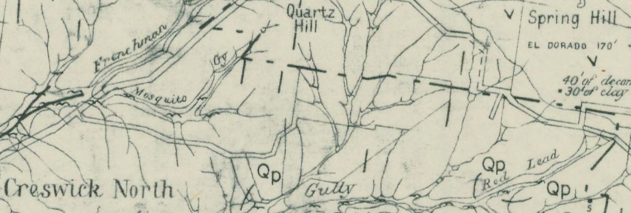
- 1880, Creswick gold field, Dept of Mines. Shows quarries, shafts, springs, rock specimens, points of eruptions, dips and strikes, quartz reefs, and auriferous leads. Detailed notes to the side of the map.
- 1880, Creswick gold field geological map. Shows quartz reefs, dips of strata, points of eruption, auriferous leads, porphyry, lower silurian, lower pliocene, middle pliocene, newer volcanic, upper pliocene, and post pliocene.
- 1904, plan showing Loddon and Avoca Deep Lead Systems, Dept of Mines. Four maps covering the area between Bridgewater, Berrimal, Creswick and Beaufort.

