The Bendigo Diggings began in 1851 as part of the famed Mount Alexander diggings, though at an unfortunate time of year when water was scarce and the ground dry and hard.
Despite this early difficulty, many continued to work these diggings steadily and profitably throughout the summer months. Soon enough the rains saw Bendigo leap into madness, with thousands rushing to its rich, newly discovered gullies.
“The Bendigo Creek Diggings continue to be the most productive, yielding a much greater quantity of gold, and with much less labor than any of the other Diggings.” – The Argus, 26th April 1852
This page provides a directory of historical gold maps for Bendigo, Victoria. All these maps are available to view online for free.
Bendigo historical gold maps
- 1860, map of Sandhurst district from the Campaspe to Loddon Rivers, and from Echuca to the Porcupine Inn. Shows reefs, gold mining companies and leases.
- 1871, Mining surveyors map of the district of Sandhurst. Showing the different companies and ground leased up to November 1st, 1871.
- 1873, Sandhurst gold field. Two maps, shows quartz reefs where proved auriferous, gold workings, granite, lower silurian, older pliocene, newer pliocene, post pliocene.
- 1873, Sandhurst gold field. Shows reefs and blocks held under leasing.
- 1886, plan showing outcrops of reefs on supposed extension south of the New Chum line of reef, from the Eureka Extended Company’s ground.
- 1900, Yankee Creek gold field. Shows quartz veins, scattered quartz, shafts, silurian and recent. Area covers Axedale, Wellsford and Ellensmere.
- 1910, plan showing the anticlinal axial lines at surface of a portion of the Bendigo gold field. Geological survey of Victoria. Three maps. Notes on the map: The saddle reefs occur along axial lines, line of reefs auriferous at surface, alluvial workings, and land sold.
- 191X, sketch map of alluvial and deep lead systems, Bendigo-Huntly, Campaspe, Malmsbury, Kyneton, Trentham. Shows alluvial flats/swamps, surface gravel deposits, volcanic/basalt, deep leads and alluvial workings, line of bores, glacial conglomerates, dacites, ordovician and silurian, granite.
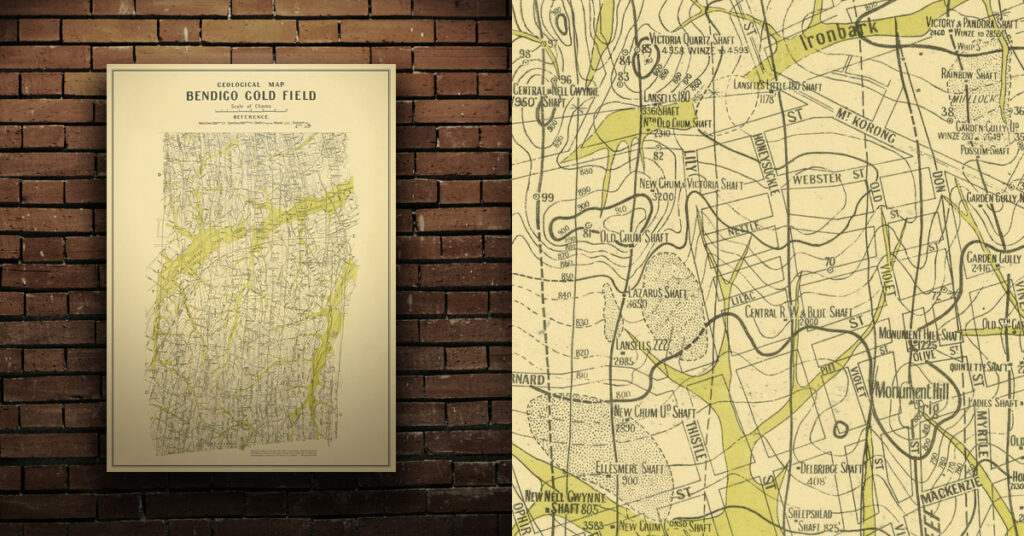
- 1923, geological map, Bendigo gold field. Dept of Mines. Shows reefs, shafts, alluvial, sands, gullys, dams.
Purchase high quality A1 print of the Bendigo Goldfield
Shop now – High quality A1 print – Historical map of the Bendigo Goldfield


